skip to main
|
skip to sidebar
Map Catalog
Friday, August 8, 2008
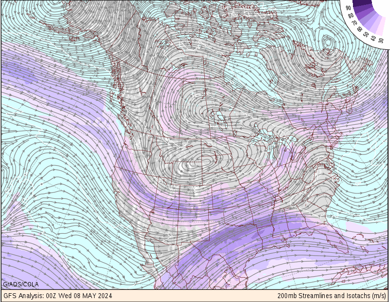
Isotach Map
An isotach is a line of equal wind speed portrayed on a map. The wind patterns are displayed over a map of the area the viewer is interested in. This map shows isotach patterns across the continental US.
No comments:
Post a Comment
Newer Post
Older Post
Home
Subscribe to:
Post Comments (Atom)
Blog Archive
▼
2008
(32)
▼
August
(31)
DEM Map
Continuously Variable Proportional Circle Map
This is a range graded proportional circle map. E...
DOQQ
Lorenz Curve
Cartographic Animation
DRG
Isotach Map
Isobars
Flow Map
Stem and Leaf Plot
LIDAR Image
Correlation Matrix
Star Plot
Planimetric Map
Cadastral Map
Thematic Map
Topographic Map
Population Profile
Climograph
Propaganda Map
Dot Distribution Map
Doppler Radar Image
Infrared Aerial Photo
Box Plot
Statistical Map
Cartogram
Scatterplot
Windrose
Mental Map
Black and White Aerial Photo
►
June
(1)
About Me
katehocker
View my complete profile
No comments:
Post a Comment